

Updated – 2/4/2015
Fixed backwards compatibility with 10.1
Added exception handling for custom/undefined coordinate system, and Layout view.
Select your version of ArcMap:
Download the Bing and Google Maps Python Add-in for ArcMap 10.1
Download the Bing and Google Maps Python Add-in for ArcMap 10.2
Download the Bing and Google Maps Python Add-in for ArcMap 10.3
Download the Bing and Google Maps Python Add-in for ArcMap 10.4
(any donations go towards hosting costs)
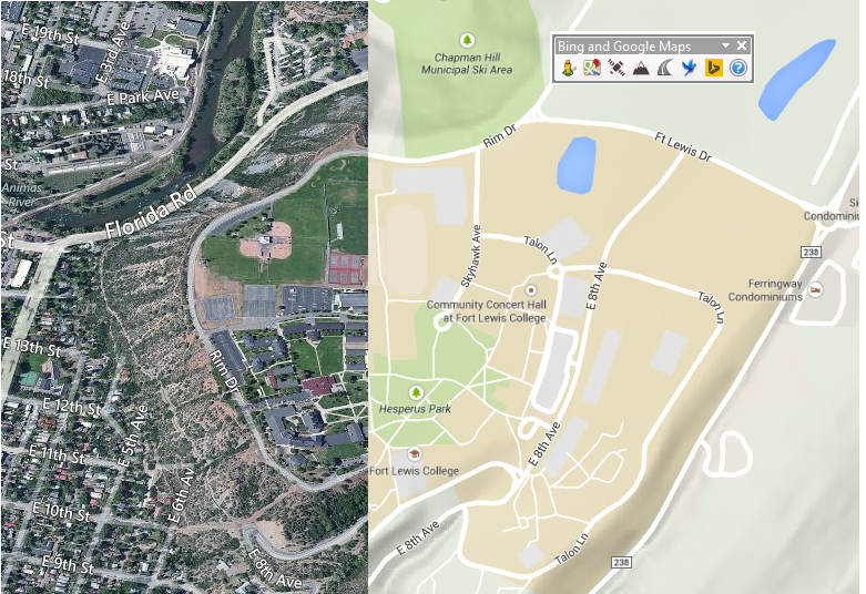
The Bing and Google Maps Python Add-in allows you to click a location in ArcMap, and then your browser will open to that location in one of the Bing or Google Map styles.
If the toolbar didn’t automatically add to ArcMap, go to Customize –> Toolbars –> and click on Bing and Google Maps.
![]()
The included map styles are:
Google Street View
Google Maps
Google Satellite
Google Terrain
Bing Roads
Bing Bird’s Eye
Bing Aerial
I attempt to match the extent of the display in ArcMap to the extent shown in Bing or Google Maps.
I’ve recently found out the add-in will not work in Layout view, so I’ve added a warning message to alert the user. I’ve also added a warning message when the Data Frame coordinate system is either undefined, or uses a custom coordinate system.
Check out the following guide to add or remove a button, or add a keyboard shortcut for a button:
Tutorial On Customizing ArcMap Toolbars and Keyboard Shortcuts
I hope you find this tool useful. Please leave a comment if you have any questions or problems, and be sure to check out the other tools I’ve created!
Awesome!!
What happends when the dataframe coordiate system is unset?!
It will alert the user with a message window stating “The current Data Frame coordinate system is not an ESRI standard. The coordinate system cannot be custom, or undefined.”
Thank you and very helpful for extracting information from vector data since it gives you more enhanced raster images
Thank you for this. It is a fantastic tool.
It seems google may have updated their street view URLs and as a result the street view button doesn’t work anymore 🙁 – all the others (Google + Bing) still work.
Hamish
This tool is a must-have, but I’m having issues when I use streetview, it just sends me to google aerial. Please update!
This is amazing. I’m using ArcMap version 10.4. After downloading this tool, it was added easily. Very handy. Thank you Ian.
Hi May, glad you find it useful, thanks for the comment!
Muy útil, gracias
Hola Pulido, de nada!
The Arc Desktop works perfectly and the links actually open in my default browser (I had problems with ArcGIS only using IE).
Is there any way that we could get an Arc Pro version?
Hi Matt, thanks for the comment, and I’m glad it’s working for you. I currently don’t have any plans to create an ArcGIS Pro version, but maybe someone else already has?
I’m using 10.4 btw and have had no issues, I was just curious (My work computer can’t even handle ArcPro). There was an ArcPro version previously but both pro and desktop tools were taken down (possibly because esri has a built in street view extension in ArcPro for pay?)
Also is there a way to get the default extent of google/bing maps similar to the one in use by my data view? I find that when I click to view in one of the online maps, the default view is zoomed out too far to easily find my location/feature (or maybe add the ability to pin your location?)
Ian
We are on ArcGIS 10.2.1 and this tool is working for some users but not for others. They see 2 x-ed out circles in the toolbar. Is there some MS or Python component that needs to be added?
Thanks
Hi Lakshmi, I’ve sent you an email, but this usually means Python is not installed, or the Windows environmental variables are not setup correctly.
Check out the answers on this GIS Stackexchange question:
http://gis.stackexchange.com/questions/189355/why-my-button-in-arcgis-add-in-extension-shows-as-missing/189384#189384
Where is Bing Streetside??? Can that be added?
Previous version used to work with any coordinate system, that was very useful. if this will have same capability that would be awesome!
Hi Kari, thanks for the comment! This tool should function the same as the other one. It converts whatever coordinate system you’re dataframe is in to WGS84.
Getting coordinate system error with every CS I’ve tried ( ie. World Mercator, UTM, WGS1984 )
Finally figured it out…if the are multiple data frames in the gdb, the first (top most in TOC) data frame is a custom or unknown CS I get the error…just make sure the first data frame has known CS.
Fixed!
Hi Terry, thanks for the comments. I just saw your posts. I’m glad you figured it out, and thanks for letting me know the solution!
Hi Ian,
tool is great! I am also interesed in developing add-ins with python. Just wondering will You publish the code, it would be great example for learning?
Hi Ian,
I love the tool! I’ve been working on developing something similar for the company I work for, but I believe I need to use our company’s Google client ID in order to embed Google maps in an enterprise application. Do you know anything about that? Or are you planning on publishing the code for this tool?
Janice
Any plans for an ArcGIS Pro version?
I don’t really use Pro yet, since we are required to be on 10.2. Once I’m forced to use Pro more, I’ll probably make a similar add-in available. I’ll shoot you an email if that day ever comes.
Hi Ian, many thanks for the tool!
I did notice that in the 10.3 addin version the bing maps streetview doesnt work, it just shows the aerial map (you then have to click through to get the streetview) is this how its meant to function?
Many thanks!
Hi, the addin works great
Do you have this addin for arcgis 10.5?
Thanks a lot
Hi Ian, many thanks for the tool!
do you have an update to synchronizing navigation within arcmap to google map
Many thanks!
Downloaded from ArcGIS Online. Worked with ArcMap 10.5. Thank you.
James Johnson – do you have the website you downloaded from to make it work with ArcMap 10.5? I’m showing “missing” values in the toolbar I tried downloading…
Ola Ian, gostaria de agradecer pela bela ferramenta. porem estou precisando de algo mais especifico estou usando sua base. preciso muito da sua ajuda.
poderia me Ajudar?
Grato
Very handy toolbar. Any chance there could be a Google Earth button at some point? I realize this may be a different beast, since Google Earth is it’s own application, not a browser/web map. However I often head to Google Earth when I need to check historical imagery, and I usually end up copying lat/lon values from Google Maps over to Google Earth to quickly pan to a location.
Ian, great add-in! Will there be an update for ArcMap 10.6?
Any chance there will be a 10.6 version of this coming out?
thank you bro
hi there
i so thanks for this
are you have a software syncoroniz google earth to arc?
Great tool, it’s one of the first things I look for when I’m customizing a new computer when I start a new job.
Is there a way to set google chrome as the default browser? I just downloaded and installed this tool this morning, and it is opening in Microsoft Edge, which is not my preference.
Thanks a million!
Zach